
Drone Mapping, Aerial Imaging, and 3D Modeling
This site shows an ongoing, hands-on exploration of drone operations, aerial mapping, 3D point clouds, and web-based visualization of spatial data.
This work highlights the outputs produced through drone-based mapping, visualization, and analysis workflows.
3D Point Models
Interactive 3D point cloud models generated from drone imagery, enabling detailed spatial visualization and analysis.
Orthomosaic Maps
High-resolution orthomosaic maps created from drone imagery, providing accurate, georeferenced views for land and structure analysis.

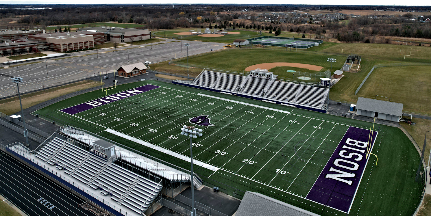
Aerial Photography
High-resolution aerial photography capturing landscapes, structures, and environments from unique and elevated perspectives.
Aerial Videography
Aerial video capture demonstrating drone flight capabilities, cinematic perspectives, and real-world environmental imaging.
About H-Tech
Projects span mission planning, data capture, processing, and presentation through a functional web experience.
This work is grounded in experience as a Commercial, Instrument-rated (IFR), and FAA Part 107-certified pilot, combining the discipline of manned aviation with unmanned systems and data-driven workflows.
Tools and platforms used include Dronelink, Litchi, RealityScan, WebODM, and Potree, supporting both direct and autonomous drone flight operations along with applied data processing and 3D visualization.
This site showcases real-world outputs and demonstrations of drone mapping, aerial imaging, and 3D modeling workflows. It is intended as a technical portfolio and exploration platform rather than a step-by-step guide.
H-Tech is a personal project and is not currently offering commercial services.